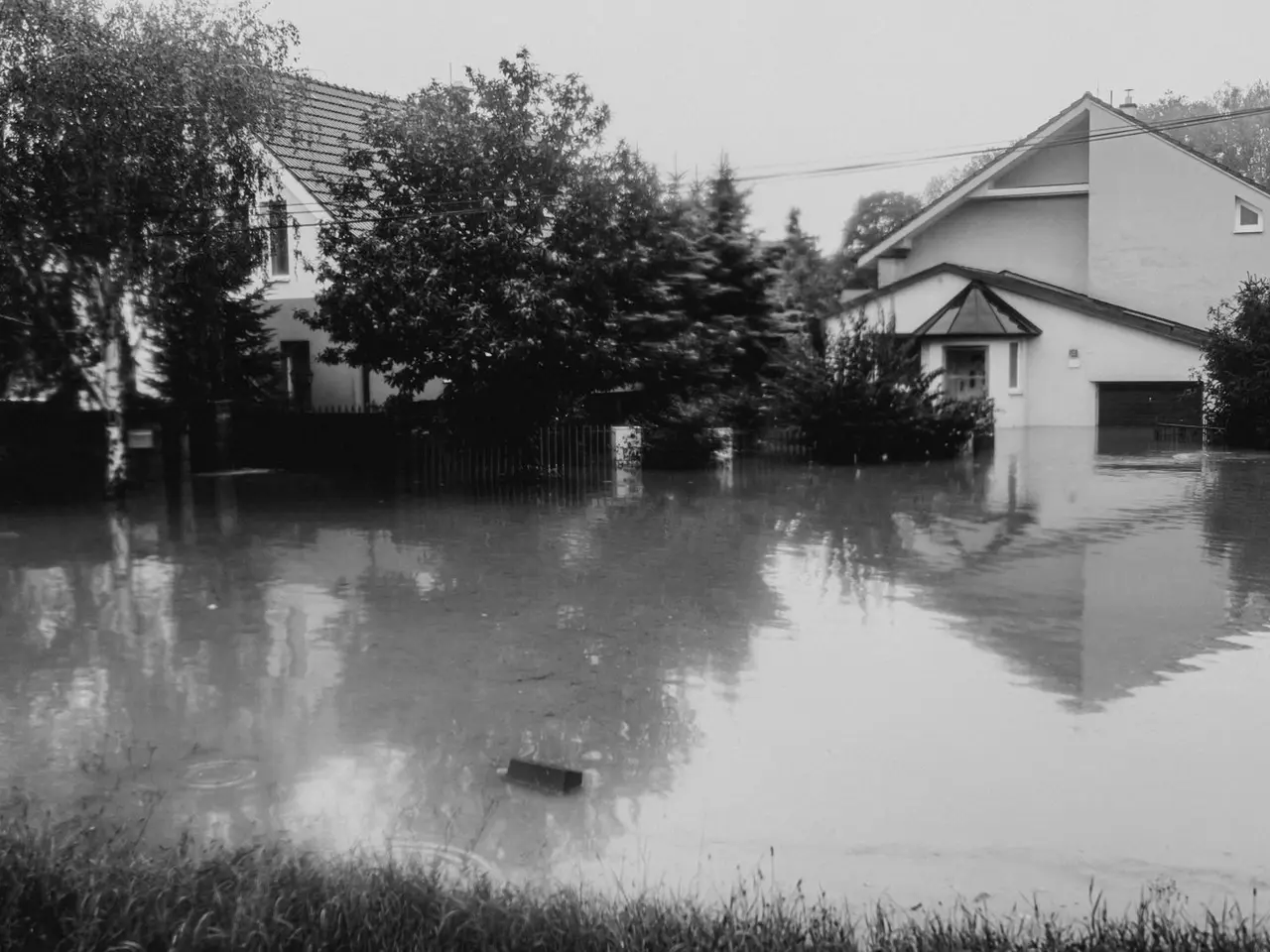
The River, the Creeks and the Prairie
The Brazos River is the eastern edge of Austin County. Sealy itself stands on prairie about four miles southwest of San Felipe, where the river level is tracked at a gauge near the FM 1458 bridge. Three creeks, Mill, Piney and Allens, run southeast across the county into the Brazos, and the San Bernard River marks much of the county's western side. Allens Creek rises near Sealy and flows about fifteen miles to meet the Brazos two miles north of Wallis. Bullinger Creek passes just north of the original townsite.
So a Sealy property can take water in three different ways: the Brazos leaving its banks, a creek backing up, or plain rain falling faster than flat ground can shed it. A standard home policy pays for none of them. Flood is excluded from homeowners, renters and commercial property insurance. It takes a separate flood policy.
If the Brazos Does What It Did in 2016 and 2017
The gauge near San Felipe begins minor flooding at 122.5 feet, moderate at 127.8 and major at 129.3. Here is what it has recorded in recent years:
- June 1, 2015: 122.29 feet, just under flood stage.
- April 19, 2016: 123.41 feet, after the storms that flooded much of the Houston region that week.
- May 28, 2016: 128.85 feet, the Memorial Day weekend flood.
- August 29, 2017: 129.00 feet during Hurricane Harvey, listed by the Weather Service as a preliminary figure and the highest of the group.
- January 8, 2019: 119.79 feet, a reminder that winter rises happen too.
Two crests within fifteen months both pushed to the edge of the major flood category. At that level, the Weather Service notes, the east approach to the FM 1458 bridge begins to flood and a home near the gauge is likely to take water. On August 26, 2017, as Harvey's rain fell, Austin County emergency management told people in low areas along the Brazos, the San Bernard and Mill Creek to move to higher ground.
If you own bottomland, a river camp, or a home in San Felipe or off FM 1458, you already know this history. The lesson for everyone else is how quickly a river that is usually out of sight can become the main fact of life in the county.
If It Simply Rains Too Hard on Sealy
Most houses in Sealy are not on the river. Their exposure is to intense rain. The southern part of Austin County is nearly level coastal prairie, and when several inches fall in a few hours the water moves slowly through ditches, culverts and creeks. Streets pond, pastures sheet over and low slabs can take water that never came from the Brazos at all.
To an insurer it is still flood. The test is whether water rose from outside and spread over ground that is normally dry. A pipe that bursts inside the wall or rain that enters through a storm-damaged roof is a different kind of claim, one your home policy may cover. Water that comes under the door is not.
Reading the Map for Your Address
FEMA's current flood maps for Austin County took effect on October 18, 2019. Every parcel falls in a zone. Zones whose labels start with the letter A are Special Flood Hazard Areas, the high-risk category. If a house there carries a federally backed mortgage, the lender must require flood insurance. Zone X covers moderate and low risk, where a policy is your choice and usually costs less.
You can look up any address on the FEMA Flood Map Service Center. For questions about a specific property, or before building, adding on or bringing in fill, go to the local office that issues floodplain development permits:
- Outside city limits: Austin County Planning and Development, One East Main Street, Bellville, (979) 865-5911.
- Inside Sealy: Planning and Community Development at City Hall, 415 Main Street, (979) 885-3511.
Treat the map as a starting point. It shows where the lender must act, not where water is unable to go. When buying land or a house, ask the seller directly whether the property has flooded and whether a flood claim was ever filed, walk it after a hard rain if you can, and price a flood policy before closing.
What a Flood Policy Pays For
Most flood insurance in Texas is issued under the National Flood Insurance Program, which FEMA runs. For a single-family house the program offers up to $250,000 on the building and up to $100,000 on contents. They are two coverages, each chosen separately and each with its own deductible.
- Building covers the structure and what makes it work: foundation, walls, wiring, plumbing, the water heater, heating and air conditioning, built-in appliances and floor coverings.
- Contents covers what you would load on a trailer if you moved: furniture, clothes, electronics and the like. You only have it if you select it.
It is just as useful to know what an NFIP policy leaves out:
- Cars, trucks and other vehicles. Flood damage to those falls under comprehensive coverage on your auto policy.
- The cost of living somewhere else while the house dries out and is rebuilt.
- Fences, landscaping, swimming pools and most other property outside the insured building.
That last item matters on acreage. Fence lines, stock tanks, pens and hay in the field are what a river flood damages most on a ranch, and a residential flood policy is centered on the house. If you have barns, livestock or equipment in low ground, ask specifically what can be insured against flood and how, and have a plan for moving animals and machinery that does not depend on insurance.
Private insurers write flood coverage as well. Some private policies offer limits above the NFIP amounts, a shorter wait or extras such as living expenses. Whether one is available, and at what price, depends on the property.
If You Wait Until the Forecast Looks Bad
A new NFIP policy generally does not take effect until 30 days after you buy it. There are narrow exceptions, such as a policy purchased as part of closing on a home loan. In practice this means the decision has to be made in dry weather. By the time the Weather Service is forecasting a crest at San Felipe, or a storm has a name, it is too late for that event.
The Brazos has also given notice in its own way: two of the crests above came less than six weeks apart in the spring of 2016, and the next summer brought the highest. Flood years can cluster.
Tenants and Business Owners
If you rent, the owner's flood policy, if there is one, covers the building only. You can buy contents-only flood coverage to sit beside your renters insurance. If you own a business, your commercial property policy excludes flood in the same way, and separate commercial flood coverage is available for the building and what is in it. See the business insurance guide.
Where to Start
First find your zone and ask your neighbors and the seller what the property has done in past storms. Then have an agent go over what your present policy excludes and lay out the NFIP and private options so you can compare them. Do it well ahead of spring and hurricane season because of the waiting period. You can begin that conversation with the agent we recommend, and use the quote checklist if you are reviewing your home and auto coverage at the same time.
Flood Insurance in Sealy: Common Questions
How high did the Brazos River get near Sealy in 2016 and during Harvey?
At the National Weather Service gauge near San Felipe, the river crested at 128.85 feet on May 28, 2016 and at a preliminary 129.00 feet on August 29, 2017 during Hurricane Harvey. Minor flood stage at that gauge is 122.5 feet and major flood stage is 129.3 feet. An earlier crest of 123.41 feet came on April 19, 2016.
My house is in Sealy, miles from the river. Is flood insurance worth considering?
It is worth pricing. River flooding is only one source. Heavy rain on level ground and creeks such as Allens Creek can put water into buildings that are nowhere near the Brazos, and no homeowners policy pays for it. Outside high-risk zones a flood policy is optional and generally costs less than inside them, so the quote is the way to decide.
Who is the floodplain contact for a property near Sealy?
For land outside any city limits, floodplain development permits are handled by Austin County Planning and Development at One East Main Street in Bellville, phone (979) 865-5911. For property inside Sealy, start with the city's Planning and Community Development office at City Hall, 415 Main Street. Either can tell you how a parcel is mapped and what a permit requires.
When does a lender require flood insurance?
When the building is in a FEMA Special Flood Hazard Area, meaning a zone that begins with the letter A on the flood map, and the mortgage is federally backed. Outside those zones it is not required, though floods do not stop at the line on the map.
What are the NFIP coverage limits for a house?
Up to $250,000 for the building and up to $100,000 for contents on a single-family home. They are separate coverages with separate deductibles, and contents coverage applies only if you choose it. Some private flood insurers offer higher limits.
Can I buy a flood policy when a storm is already on the way?
You can buy one, but it will not help with that storm. New National Flood Insurance Program policies normally start 30 days after purchase. The main exception is a policy bought in connection with closing on a home loan.
Does a flood policy on my house cover my fences, barn and cattle?
A residential flood policy is built around the insured house and, if you choose it, the contents. Fences and most property outside the building are not covered. Do not assume barns, equipment or livestock are included. Ask what can be insured and under what kind of policy.